Our services
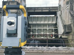
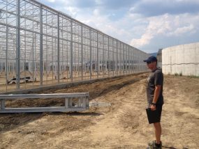
Land surveying
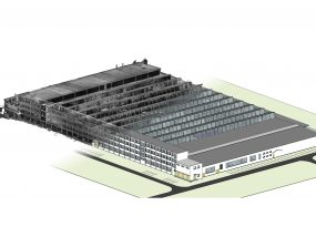
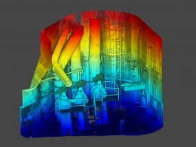
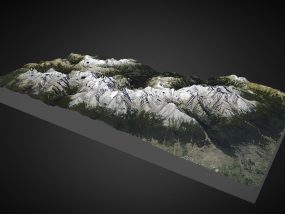
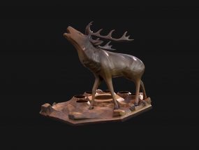
3D laser scanning
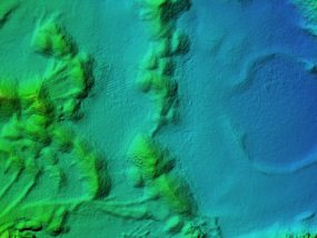
Photogrammetry
Drone Mapping
CHECK OUT OUR FIRST PHOTOGRAMMETRY AND LASER SCANNING DEMO REEL

About us
We are a family business engaged in land surveying related to cadastre, civil engineering and science since 1991. Beveling s. r. o. itself was founded only in 2017 and together with its foundation we have extended our services with modern geodetic technologies like 3D laser scanning and photogrammetry. We use these modern methods to survey interiors and exteriors of buildings, industrial plants, and in special applications like archeology and cultural heritage research. Since 2019, we have been authorized to carry out aerial work with unmanned aircraft vehicles (UAV) with an operating mass of up to 150 kg.
Our team
Ing. Gabriel Vanko
Cadastre and civil engineering survey specialist

Ing. Jakub Vanko
UAV Pilot
Photogrammetry and scanning specialist
Photogrammetry and scanning specialist
Ing. Gabriel Vanko st.
Authorized surveyor and cartographer
license 422
license 422