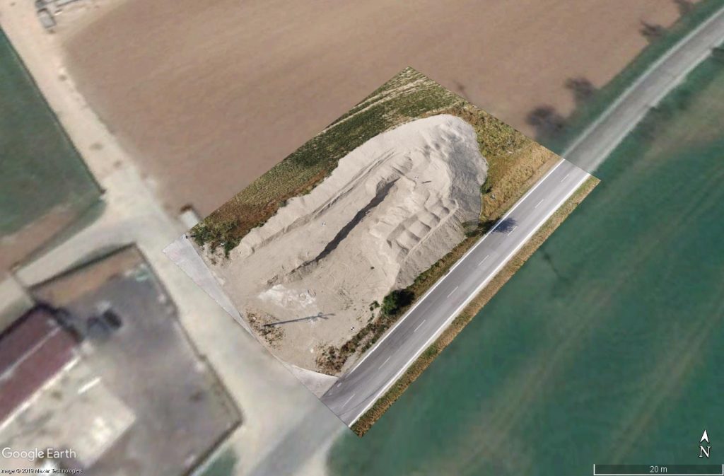
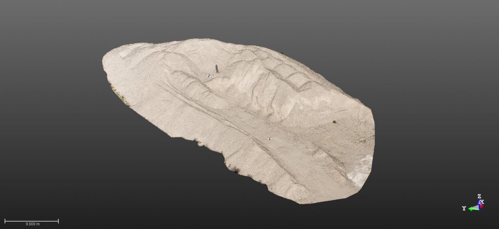
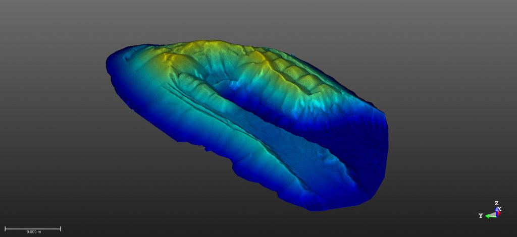
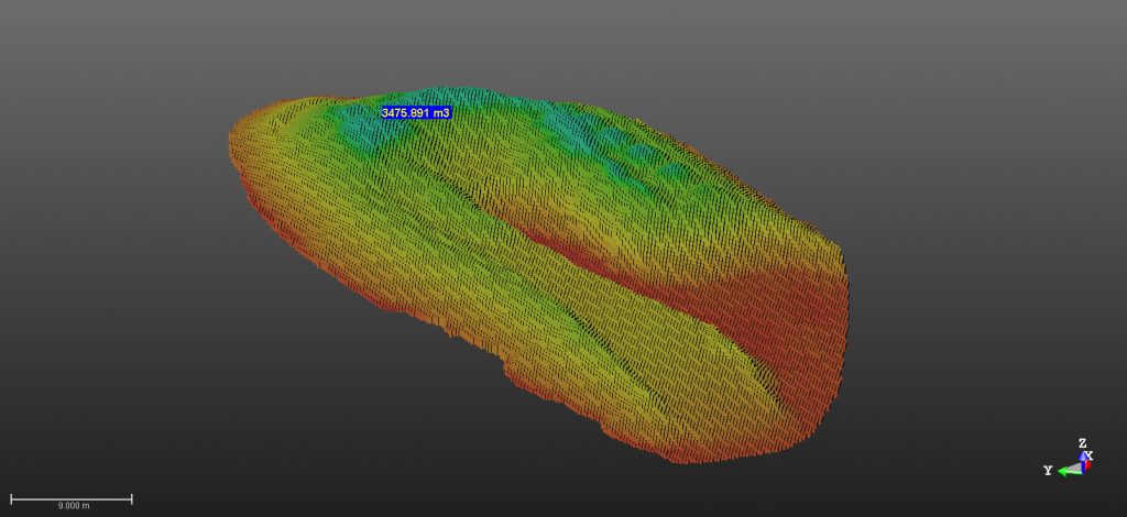
Determining volumes and areas of surfaces is a frequent task in surface mining and landfill management. Classical ways of determining volumes include surveying cross sections. This method relies on a set of discrete points surveyed by a global navigation satellite system (GNSS) receiver or with a total station. In order for these discrete points to best reflect the complexness of the terrain, they would have to be very densely distributed around the area of interest. Surveying such a dense set of points is very time consuming and uneconomical. By using a 3D laser scanner or a drone, we are able to create a very dense point cloud of the terrain that is obtained by a fraction of time of the conventional methods. Point clouds are useful for creating a 3D model of the area. This model can be used to create a contour map, calculate volumes, calculate areas, and create vertical cross sections.
Surface area and volume