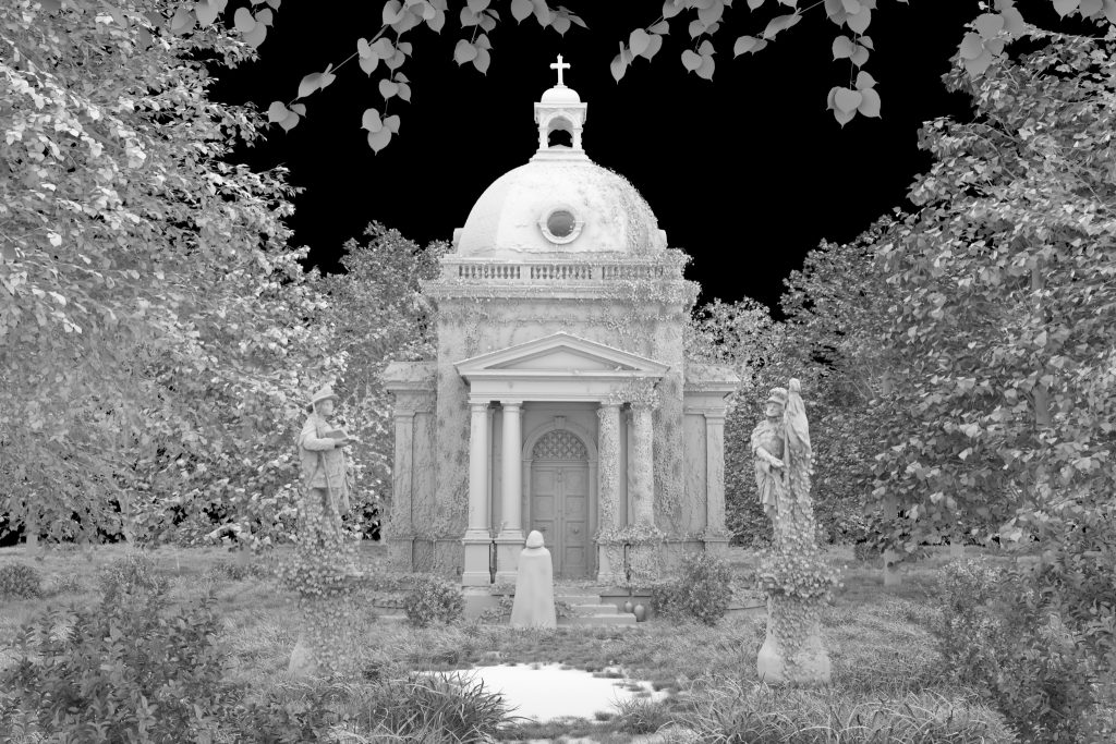
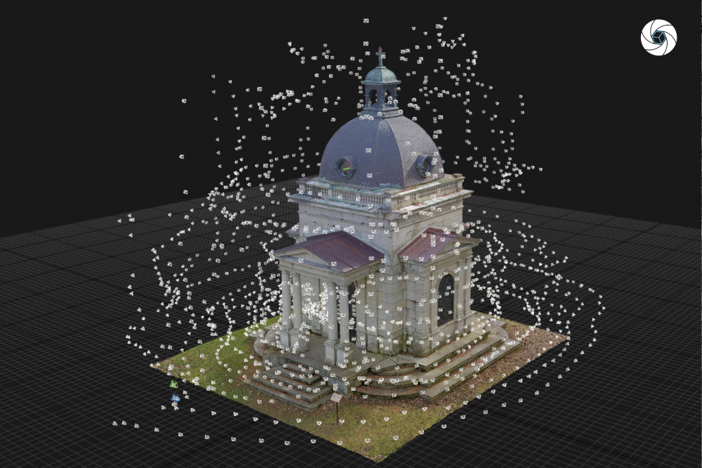
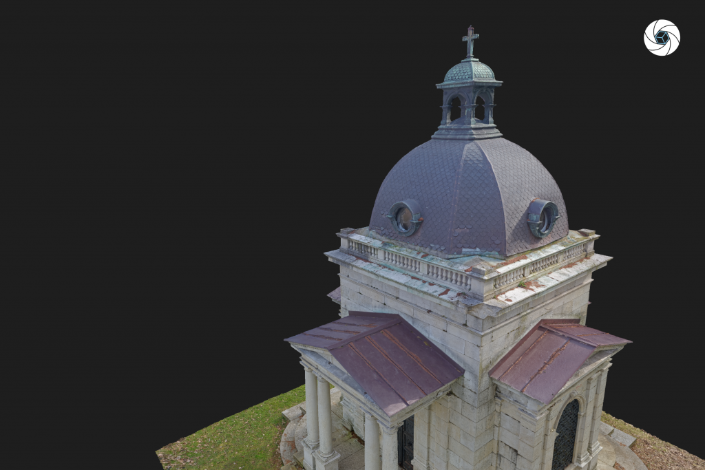
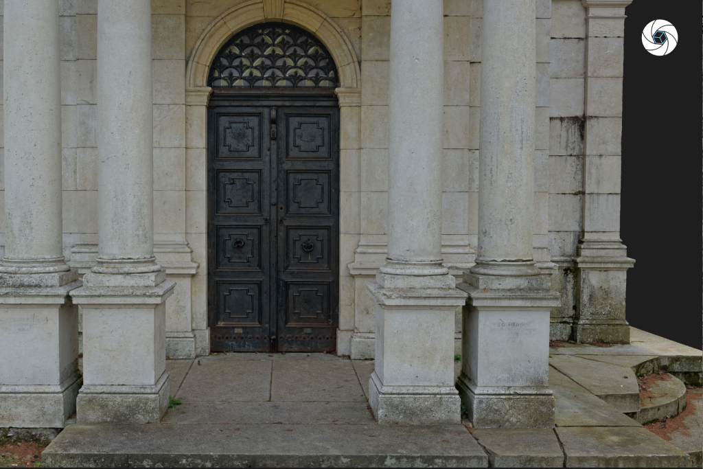
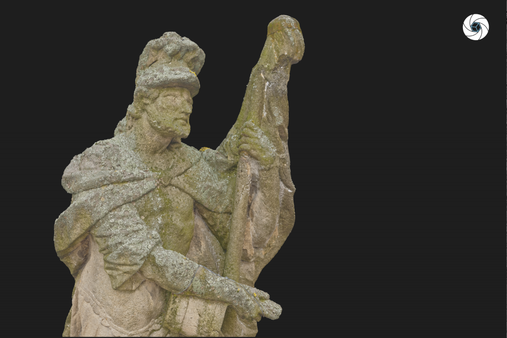
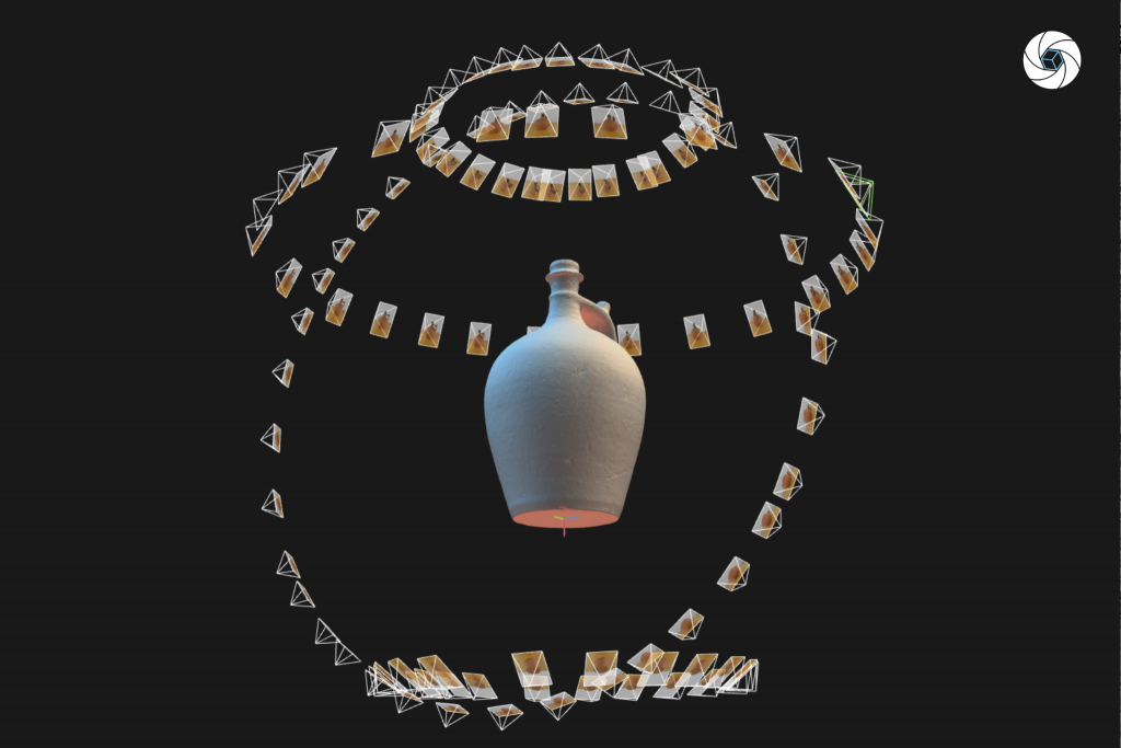
By combining geodetic measurements, laser scanning and photogrammetry we can create a 3D models of any kind of landmarks. The 3D model is then usable for visualization and creation of additional 2D and 3D outputs.
Cultural heritage

By combining geodetic measurements, laser scanning and photogrammetry we can create a 3D models of any kind of landmarks. The 3D model is then usable for visualization and creation of additional 2D and 3D outputs.