3D laser scanning (LIDAR) is a modern spatial data collection technology where millions of points can be measured in a relatively short time compared to conventional measurement methods such as measuring with a total station. Depending on the 3D laser scanner used and the specific scanner settings, the scanning speed can be as much as a million points per second with millimeter accuracy. The result is called a point cloud.
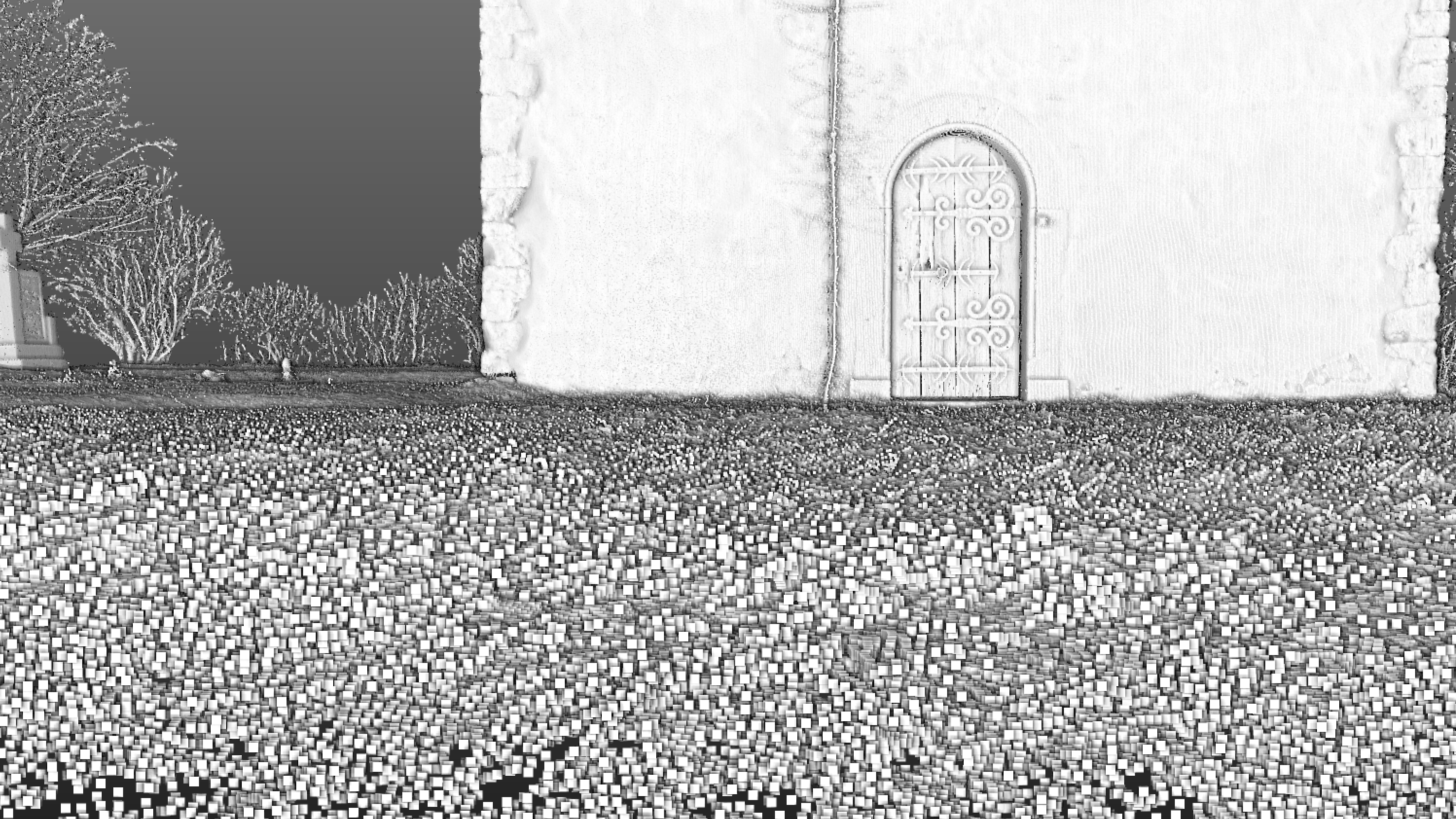
When you zoom in the point cloud, you can recognize individual scanned points. The density of the points depends on the 3D scanner itself, its settings, as well as the distance of the scanned object from the scanner. The farther the scanned object is from the scanner, the thinner is the point cloud.
Each of these points hasits location defined in three-dimensional space using the X, Y, Z coordinates. In addition, they also include the intensity of the reflected laser from the object back to the scanner, but may also include individual point color data when photographs were taken of the scan and then projected on the point cloud.
3D laser scanning technology is used to faithfully capture reality and translate into a virtual world where we can continue to work with scans and produce more outputs. Our company uses this technology to map the interiors and exteriors of buildings, historical monuments, industrial parks, bridges, tunnels, roads, retaining walls, pipes, mines, quarries, landfills and other objects that must be faithfully scanned for further processing.
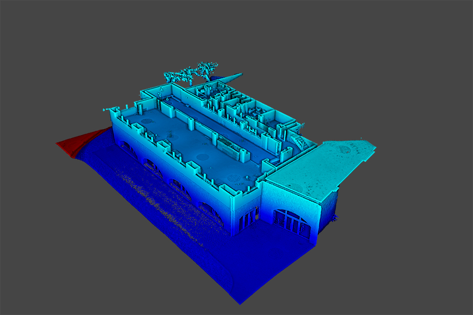
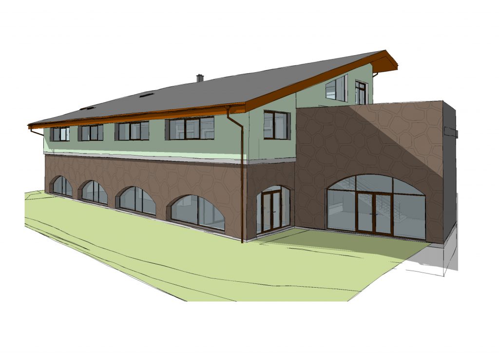
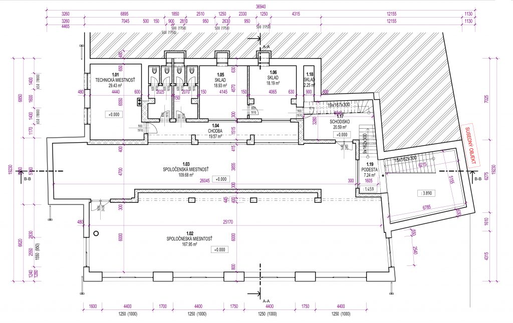
Possible outputs of laser scanning include point clouds, 3D models as MESH or CAD models. These 3D models have correct dimensions, of course within the accuracy of laser scanning, and are therefore can used to measure lengths, angles, slopes, areas and volumes. For most purposes 3D scans are oriented in a local coordinate system, they can also be georeferenced to the selected reference system. Georeferencing means that a 3D scan (or already a model) will be connected to control points which have coordinates in the desired coordinated system. Models can be further exported to CAD programs where they can vectorized to 2D outputs such as views, floor plans, and sections.
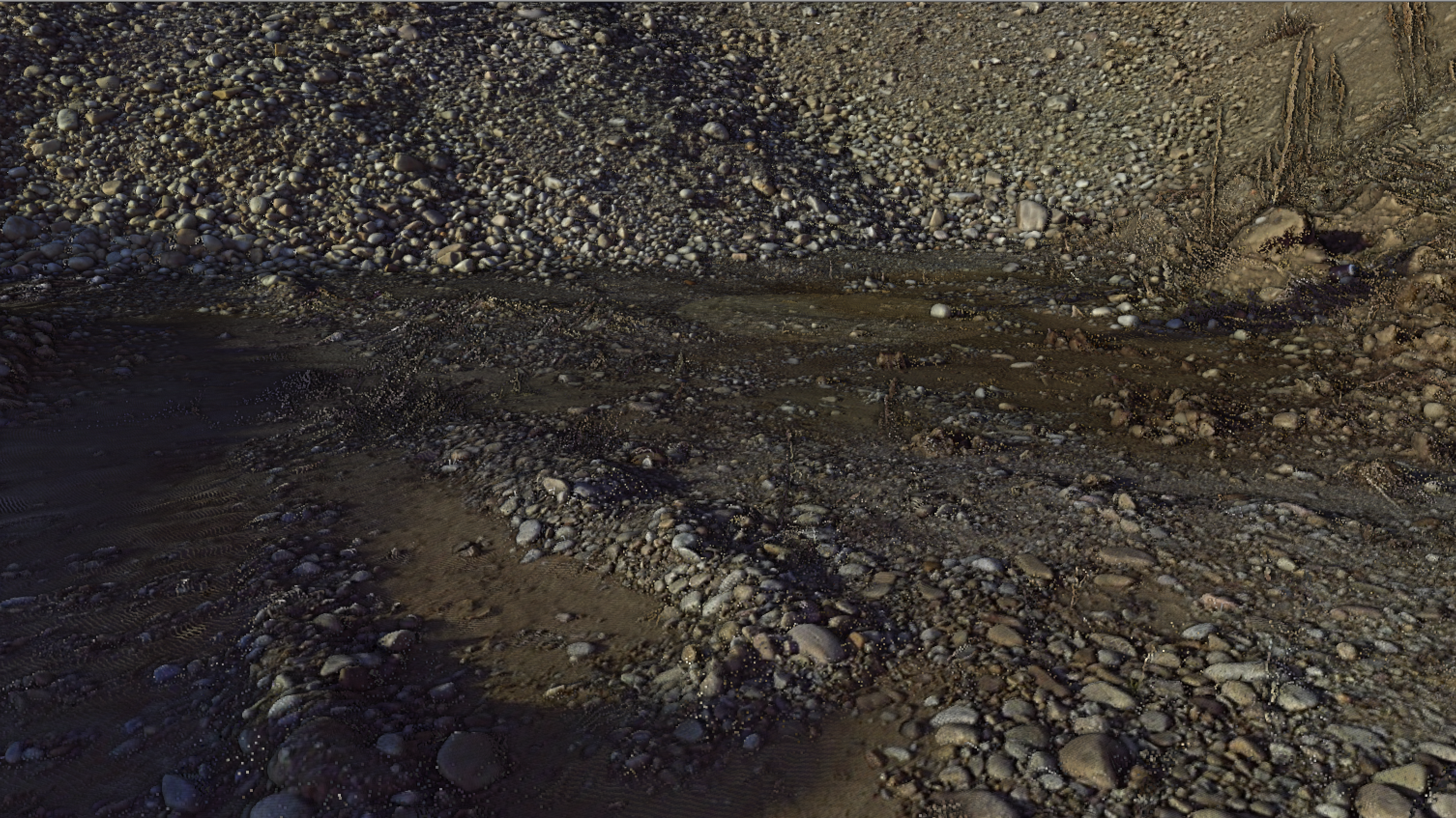
Laser scanning can also be combined with ground based photogrammetry and aerial photogrammetry from a drone. Together we can get a very accurate and complete representation of any object. A typical example is when the interior and exterior of a building are scanned with a 3D laser scanner, the texture is obtained from the ground photogrammetry and the missing roof and the hard-to-reach areas are scanned from the drone. The whole project is then connected to the state coordinate system by geodetic measurements using a global navigation satellite systems receiver or a total station.